
Located on a narrow strip between a steep mountain and a deep alpine lake, Hallstatt looks like a postcard come to life. But for travellers aged 50 to 70, the question is not whether it is beautiful—it is whether you can enjoy it without a punishing climb. The answer, with the right choices, is a clear yes.
The village itself is compact and walkable at ground level, but the historic core has cobblestones, steps, and short steep sections. The key is to focus on the flat lakeside areas and a handful of easy viewpoints. This guide covers exactly those routes: the shore from the Lahn to the Market Square, the east-shore trail to Obertraun, the official photo point, the Malerweg in the Echern valley, and the easy Echern valley circuit. Most of them are walks for strolling rather than exertion, and where that stops being true, this guide says so.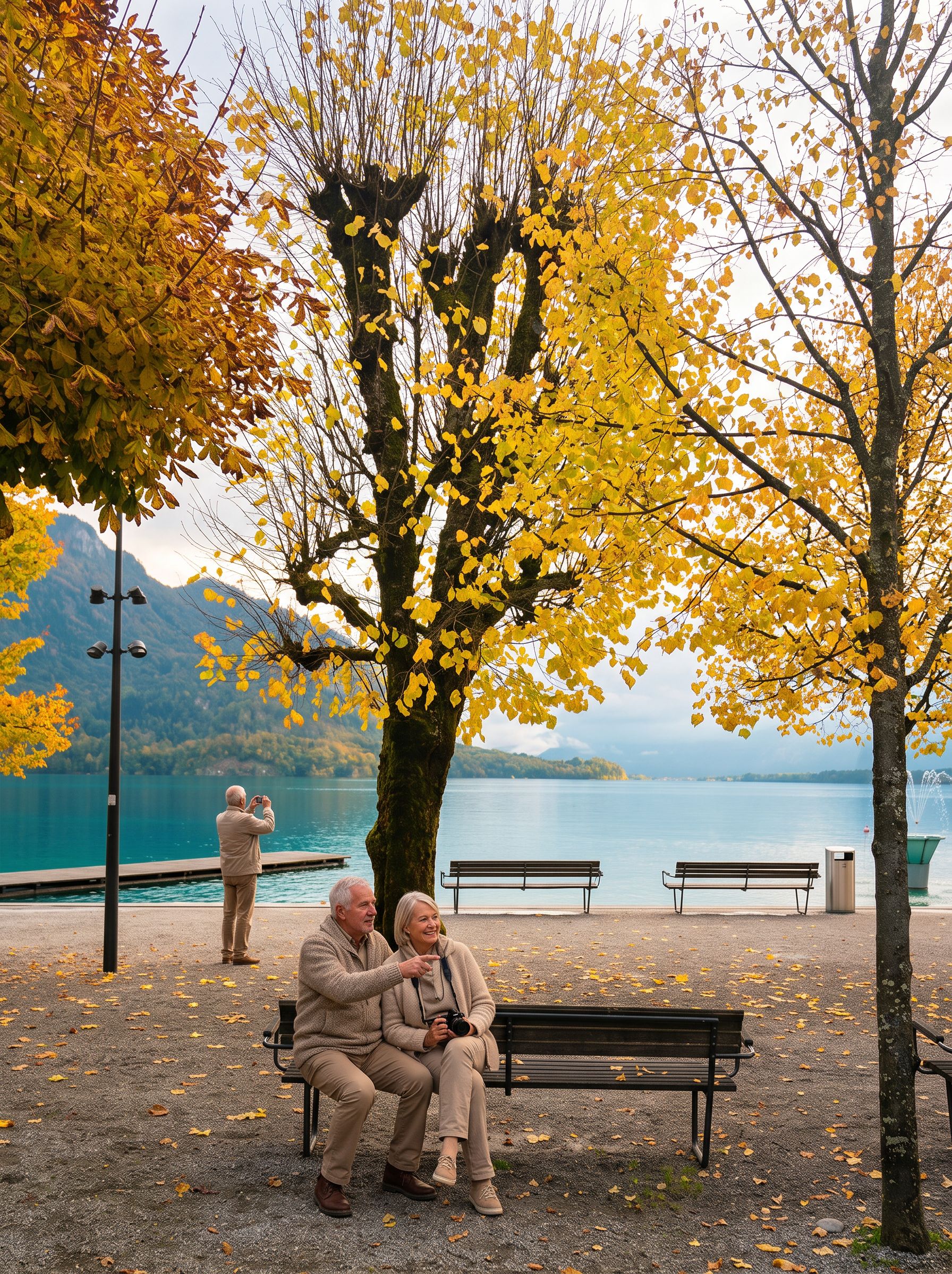 AI-edited
What is the best flat walk in Hallstatt?
The lakeside promenade from Hallstatt Lahn north to the village center is the most reliable flat walk in the area. It follows the shore of Lake Hallstatt on asphalt, and the tourist board puts the walk from the P1 car park to the center at about 20 minutes. Choose it when you want scenery without strain.
The promenade starts near the P1 parking area and the Hallstatt Lahn bus stop, then follows the shoreline north into the village. The surface is asphalt; a published account by a wheelchair user describes the route through Hallstatt as asphalted and easy to roll along. The distance from the Lahn end to the Market Square is roughly 1.2 kilometres. Shortly before the square you pass the ferry pier and the Protestant church, which stand side by side at the Landungsplatz. The walk is quietest early in the day, before the coach parties and the round-trip boats arrive. As of August 2026 the construction work in Hallstatt is on the Salzberg above the village, not along the shore.Can you walk from Hallstatt to Obertraun along the lake?
Yes, but the path is on the east shore, so you start by taking the ferry from the village to Hallstatt railway station. From there the Ostuferwanderweg to Obertraun takes about an hour, and the tourist board grades the whole east-shore trail as easy walking, suitable for families, beginning hikers and seniors.
The section you want is the last of the four stages the tourism office lists: from Hallstatt railway station to the Seecafe and public bathing beach at Obertraun, given as about an hour. It runs beside the railway line and returns to the shore at a railway hut, from where the board promises a view across to the 4,500-year-old salt-mining village; notice boards along the way explain the vegetation. The east shore gives a different perspective on the lake and the mountains, and it is the quieter side of the water. For late autumn and early winter the region's own note on this trail is worth taking literally: watch for wet leaves, wet stones and freezing damp, and plan the return from about 4:30 pm because darkness comes early. If you want to shorten the route, the Salzkammergut railway runs parallel to the trail, with stops at Obertraun, Hallstatt, Obersee and Steeg-Gosau, so you can turn back at any point and take the train.What is the Malerweg painters' trail?
The Malerweg is not a lakeshore path but an asphalted lane in the Echern valley, above and behind the village. It carries the name of the Romantic painters who worked in the Echerntal, and the valley's themed trail begins at a pavilion called Babylon at its upper end.
The lane is asphalt, not gravel, and it links the village with the Echern valley walk described below; the pavilion at its upper end stands just before the parking area for the forest road up to the Salzberg. What you get here is a valley scene rather than a shoreline one: the Waldbach stream, the rock face of the Hirlatz, and the stone gardens that the themed trail explains on its information boards. The iconic view of Hallstatt's pastel-coloured houses reflected in the water is not from here. For that, walk north from the Market Square along the Gosaumühlstraße to the official photo point, which the tourism office places only a short walk from the square."No wonder the hype, this place is heavenly. It's one of the best lakes I have been to in my lifetime and this place looks straight out of a postcard. I spent almost an hour looking at the calm lake, breathing fresh air and feeling the cold breeze." — one Google reviewer wrote in February 2024
Where is the classic postcard viewpoint, and is it easy to reach?
The classic photo point is on the Gosaumühlstraße in the village center, and the tourist board calls it only a short walk from the Market Square and easily accessible. From there you look over the lake to the Protestant church, the old houses under the rock face and the mountains behind. The viewpoint by the Catholic church is a different place.
From the Market Square, walk north along the lake into the Gosaumühlstraße; that is where the photo point sits. The church terrace above the village is the other option, and it is the demanding one: Hallstatt's tourism office calls the ground by the ossuary one of the loveliest viewpoints in the village, but writes in the same breath that the ascent is via numerous steps or via the somewhat steeper Kirchenweg. The photo point is busy for most of the day, so come before 9:00 am or after 5:00 pm if you want it to yourself. On Google it carries 4.8 out of 5 from 14,259 reviews as of August 2026, which tells you how many people stop here. Being at street level on the shore, it is the option to choose if steps are a problem.What is the Echern valley approach?
The Echern valley walk is the tourist board's easy circuit through the front of the Echerntal: about 5 kilometres, roughly an hour and a half, graded easy and listed as manageable with a stroller. It starts at the Calvary church above the P1 car park and ends at the Salzbergbahn valley station.
From the Calvary church the shaded Grabfeldweg leads past the Vesperbild chapel, joins the asphalted Malerweg for about a hundred metres and then turns off onto the Brandbachweg, returning along the Echerntalweg. The official route data lists the path condition as gravel and forest road, natural soil and asphalt road, and there are information boards along the way. Take food with you: the board notes that there is no refreshment stop on the majority of this tour. This walk is particularly good on hot days, as the valley is shaded by trees and the stream provides a cooling breeze. It is also a good option if you want to escape the crowds—most visitors stick to the lakeside promenade and the village center, leaving the Echern valley quiet even in peak season.How accessible are these walks for travellers with limited mobility?
The asphalt shore between the Lahn and the Market Square is the dependable choice, and the photo point on the Gosaumühlstraße lies on the same lakeside street. The Echern valley circuit is graded easy and listed as manageable with a stroller, but it runs five kilometres on mixed surfaces, which is a different proposition from a wheelchair route.
For travellers who use a wheelchair or a rollator, the shore route from Hallstatt Lahn into the village is the best choice: a published account by a wheelchair user describes the route through Hallstatt as asphalted and easy to roll along, and the regional tourist board lists the P1 car park at the Lahn end as suitable for wheelchairs with no assistance necessary, while noting that not all of the Austrian ÖNORM requirements are met. The same account is blunt about the side lanes of the village and about the Echerntal, where the last kilometre before the Schleierfall climbs so steeply that a strong companion is needed. The regional tourist board, Dachstein Salzkammergut, keeps a barrier-free section on its website with separate lists for accessible hikes, accommodation, restaurants and public toilets. In Hallstatt itself, the two wheelchair-accessible toilets are in the Salzbergbahn building and at the village entrance, and both need a Euro key. For a broader look at getting around Hallstatt without a car, including ferry and shuttle options, see our guide Getting Around Hallstatt and the Lakes Without a Car.Where can you find benches and rest stops along these walks?
Benches are set along the shore and through the Echern valley, though no official count or spacing is published for them. The dependable rest points are the fixed ones: the cafes and restaurants around the Market Square, the lakeside terrace of the Seehotel Grüner Baum, and the public toilet at the Badergraben in the village center.
The seats with the widest view are on the open stretch of shore north of the Market Square, along the Gosaumühlstraße, where the village, the lake and the mountains line up in one frame. In the Echern valley the resting places sit under trees, beside the information boards of the themed trail. If you need a proper rest stop, the Market Square has several cafes with outdoor seating, and the Seehotel Grüner Baum on the square itself has two rooms worth knowing about: the Lakeside Terrace, which the hotel describes as looking out over Lake Hallstatt, and the Kaiserstüberl in the oldest part of the house, where you can stop for coffee and cake with a view of the historic market square.When is the best time for these walks?
The best time for easy lakeshore walks in Hallstatt is from late May through September, when the weather is warm and the days are long. Early morning (before 9:00 am) and late afternoon (after 4:00 pm) offer the best light and the fewest crowds. Autumn (October) is also pleasant, with fewer visitors and golden foliage.
Summer mornings are the best time for the Echern valley, which the tourism office also recommends as a cool walk or an evening round. The lakeside promenade is pleasant at any time of day, but it fills up from late morning, when the scheduled round-trip boats begin calling at the village—the first leaves Hallstatt Center at 11:00, and they run only from May to September. Winter walks are possible but require caution. The paths can be icy, and the days are short. If you visit in December, the round-trip boats have stopped for the season and the shore is at its quietest. Stick to it: the Echern valley circuit runs partly on natural soil and forest road, which turn slippery in the wet.What else should you know before you go?
The village core is closed to traffic by two barriers, so day visitors park at P1 or P2 and walk in—about 20 minutes from P1, 15 from P2. The half-hourly shuttle from P1 is free only for guests with a booked bed in the center. Arriving by train means a ferry crossing from the station.
Bring cash. The Hallstatt shipping company states plainly that it takes no card payment, and the village has a single cash machine, at the Gemeindestiege. Wear comfortable walking shoes with good grip—the cobblestones in the village center can be slippery when wet. For a deeper look at seeing Hallstatt with minimal walking, including a suggested half-day itinerary, read our companion guide Seeing Hallstatt With Little Walking: A Lakeside Guide for Travellers 50–70. The Hallstatt tourism website provides up-to-date information on trail conditions and closures. Check their official hiking page before your visit for any changes.Frequently Asked Questions
Is the Hallstatt Skywalk open during construction?
The Skywalk and the salt mine were closed through the summer of 2026 for the building of a new funicular, and the operator has set the reopening for Saturday 29 August 2026 at 9:00 am. The serpentine path up to the Salzberg was closed for the same work. From that date the funicular carries you 360 metres above the rooftops of Hallstatt, and the Skywalk is reached from the panoramic lift over the panoramic bridge to the Rudolfsturm; the operator calls the funicular and the Salzwelten Bistro fully accessible. Before 29 August, the classic view is the one from the village: the official photo point on the Gosaumühlstraße, a short and level walk north of the Market Square.
Can you walk from Hallstatt to the salt mine without climbing?
No. The salt mine sits in the high valley above the village, and the serpentine path that used to lead up there is closed for the funicular works. From 29 August 2026 the new funicular runs again, and the operator calls the funicular and the Salzwelten Bistro fully accessible, with the Skywalk reached from the panoramic lift. The mine itself is a different matter: the operator states plainly that it is not wheelchair accessible, and the guided tour begins after a walk of about 15 minutes to the Knappenhaus. The World Heritage Museum in the village covers the salt-mining story in depth, but it states on its own website that it is not barrier-free.
Are there electric scooters or mobility aids available for rent in Hallstatt?
Electric scooters and mobility aids are not widely available for rent in Hallstatt itself. Some hotels may provide wheelchairs or walking poles upon request, but this is not guaranteed. The best approach is to bring your own mobility aid if you need one. The asphalt shore between Hallstatt Lahn and the Market Square is the route to plan around; the Echern valley circuit is graded easy and stroller-friendly, but at five kilometres on mixed surfaces it is not a wheelchair route.
What is the easiest way to get from the train station to the village?
The easiest way is to take the ferry across the lake from the train station to the village center. Hallstatt's tourism office gives the crossing as about 15 minutes and the service as almost hourly. The pier is below the station, a two-minute walk from the platform, and the boat on this line, the MS Stefanie, is described by the operator as wheelchair accessible. The company takes cash only. You land at the Landungsplatz, next to the Protestant church and a few steps from the Market Square.


